DROGHEDA & BALTRAY FLOOD RELIEF SCHEME


Ship St 2
Well Quay
Queensborough Drogheda 130120


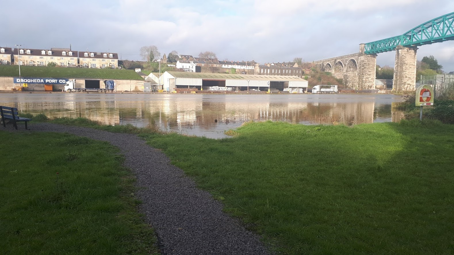
Drogheda (Droichead Átha) is a port town in County Louth on the east coast of Ireland. It is the eleventh largest settlement by population in all of Ireland and is the last bridging point on the River Boyne before it enters the Irish Sea. 

Baltray (Baile Trá) is a village and townland in County Louth. It sits on the northern shore of the River Boyne estuary. Since the latter half of the twentieth century, the village was developed as a dormitory village to Drogheda.

The River Boyne flows north-eastwards through Drogheda, County Louth, to its estuary at Baltray and is also subject to the tidal influence of the Irish Sea. 

As part of the Government’s National Development plan to 2030, €1.3 billion has been committed to the development of flood relief measures across Ireland. As part of this commitment, a steering group was established between Louth County Council and the Office of Public Works (OPW) to progress a flood relief scheme to alleviate the risk of flooding for Drogheda and Baltray. In September 2021, RPS were appointed Engineering and Environmental Consultants to develop a flood relief scheme that is technically, socially, environmentally, and economically acceptable for Drogheda and Baltray.


Both towns have a history of serious flooding, the most recent occurring in January 2020 when flooding occurred at high tide following a surge from Storm Brendan, in which Louth County Council activated their severe weather plan. Development of flood relief options will consider the fluvial risk posed by the River Boyne, the element of coastal flood risk and the associated impact of this on flooding in Drogheda and Baltray. 

To address flooding issues nationally, the Office of Public Works (OPW) commissioned and completed Catchment and Flood Risk Management (CFRAM) studies covering the entire country.  The Eastern CFRAM Study was completed with support from Louth County Council.  An output of the study identified flood risk areas, including Drogheda and Baltray, and the associated impacts of flooding. The plan also set out the measures and policies to be pursued in order to achieve the most cost effective and sustainable management of flood risk.

RPS are appointed to complete a detailed project level engineering assessment for Drogheda and Baltray.  The assessment will involve identification of appropriate flood risk alleviation measures and preparation of detailed design drawings and documents.  Once complete, this body of work will facilitate statutory approval and subsequent construction of the scheme. As part of the Scheme Development process RPS will carry out a Natura Impact Statement and Environmental Impact Assessment Report, where required under the relevant legislation.


Steering Group Members